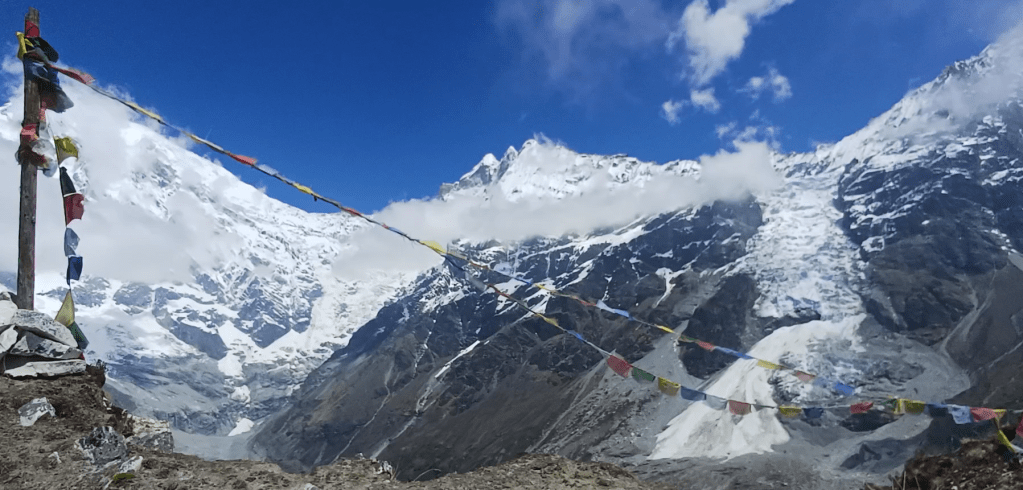
This stage-by-stage hiking guide from Kyanjin Gompa to the lower and upper peaks of Kyanjin Ri in Nepal’s Langtang Valley covers route, timing, gear, etc. 4.5-hour round trip, 4.5km with 900m of ascent up to 4,773m. Summary: really good views from the summit, though you get 80% of the view for 50% of the effort from Kyanjin Ri lower peak
Route in: trek from Syabrubesi to Kyanjin Gompa
Start point: hike from anywhere in Kyanjin Gompa up the south face of Kyanjin Ri to the lower and then the upper peak
Route out: you can retrace your steps but it’s a little easier to head east off the upper summit and then down the valley to the east of the peaks
Map link: https://www.alltrails.com/explore/custom-routes/kyanjin-ri-e81105a
Time: round trip took me 4.5 hours: 2.5 hours up, 1 hour down and half an hour at each peak. I am moderately fit but well past the bloom of youth, and times will vary considerably with fitness, acclimatisation, weather, snow, etc.
Grading: this is a hike not a scramble so not graded. It was moderately hard work: 4.5km and 900m of ascent at altitudes above 4,000m
Acclimatisation: this is essential. I spent a day at Kyanjin Gompa before this hike. This is personal context, not a recommended acclimatisation schedule. Do not continue ascending with symptoms of altitude illness; descend if symptoms worsen.
Start time: at many times of year, best to go as early as you can including aiming to be at the summit for sunrise
Warning: in places, the path is steep and occasionally with moderate drops on each side; beware of weather (sun, rain, snow, wind) including sudden changes
Gear: standard hiking gear
Verdict: the hike gives you good views and is also useful for Tserko Ri acclimatisation; for views alone, the lower peak could be sufficient
Category: Trek
Score: 7/10
Video guide:
Map:
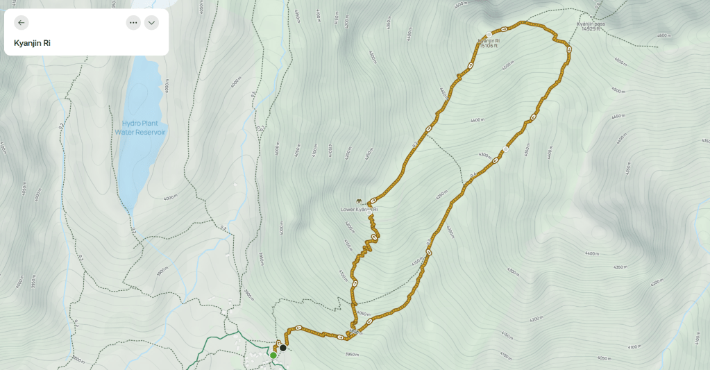
Map image/data from OpenStreetMap via AllTrails


Leave a Reply