A section-by-section guide to hiking Skeleton Gorge on the east side of Table Mountain in Cape Town
Summary verdict: fun, easy grade 1 scramble in the central section plus climbing a few short ladders but the great majority of the route is hiking up wood and rock steps
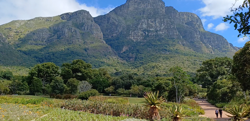
Route in: pay to enter Kirstenbosch Botanical Gardens and follow paths heading north-west until you get to Skeleton Gorge signs
Start point: although Skeleton Gorge is marked as running all the way down through the Gardens, the gorge proper feels like it only begins above the Contour Path just south of Skeleton Waterfall (latitude: 33°58’57″S; longitude: 18°25’26″E)
Grading: the small number of ladders are sub-grade 1 and, above them, the scramble up the stream bed is grade 1; the rest and great majority is just a hike up lots of wooden/rock steps
Warning: there are a number of potential dangers to watch out for. Mugging is very rare but can occasionally happen; hiking in groups or at weekends when it’s busier may help. Despite the shade, it can be hot so take water – plenty of it if you’re continuing on e.g. to Maclear’s Beacon and the cable car. Mist can come down suddenly and it’s quite easy to lose your way; especially beyond Skeleton Gorge up on Table Mountain: watch the weather forecast and weather. Likewise high winds tend not to be too much of a problem in the gorge itself but can be up on the top of the mountain. During or after wet weather and more generally during colder months, the ladder rungs and rocks can be slippery and dangerous with much more care needed. Storms can also damage the ladders. Injuries are infrequent but do happen. Check updates via groups like Friends of Table Mountain: https://www.facebook.com/groups/thefriendsoftablemountain
End point: where the path plateaus out at the four-way path intersection (latitude: 33°58’45″S; longitude: 18°24’56″E); total elevation gain of around 1,300 feet (plus c.550 feet more ascent within the Gardens)
Route out: you can retrace your steps down the gorge; you can take the path south-east across Nursery Buttress into Nursery Ravine; you can take the path north-west to Hely-Hutchinson Reservoir which has a beach of sorts and head round the south side of the reservoir and then down Nursery Ravine; you can take the path north-east to north up to Maclear’s Beacon and then head north-west to the upper cable car station (which is what I did, but be aware of last cable car times and that it does not run in bad weather)
Map link: https://www.alltrails.com/explore/map/map-january-26-2025-b538f27
Time: about 45 mins from Gardens entrance to start of gorge proper; then c.1 hour up Skeleton Gorge; just under 1 hour to return the same way or to go directly across and down via Nursery Ravine; just over 1 hour to descend Nursery Ravine via the reservoir; a little over 2 hours to reach the upper cable car station via Maclear’s Beacon (there’s a slightly quicker route via Grotto Cave and Fountain Peak)
Combine with: walks down Platteklipp Gorge or Nursery Ravine; scramble up Nursery Buttress and down Skeleton Gorge
Gear: nothing special – just decent footwear and enough water and sun protection especially for time spent above/outside the forest
Verdict: a fun rocky central scramble plus the ladders but the great majority of the route is hiking up wood and rock steps
Category: Standard
Score: 6.5/10
Video guide:
Map:

Map image/data from OpenStreetMap via AllTrails

Leave a comment